
TL;DR: Slaughter Pen has several places to park: Compton Gardens downtown for the All-American trailhead, the city lot at 2400 North Walton Boulevard by the Bark Park, the Tiger lot at NE A Street and Cub Circle, Park Springs Park at 300 NW 10th Street and the Hidden Springs lot on NW A Street (OZ Trails, August 5, 2026; City of Bentonville; Hike NWA). The system has more than 30 miles of singletrack in three phases, and the paved Razorback Greenway runs through it (OZ Trails, accessed November 2026).
Where should you park for Slaughter Pen?
Park downtown at Compton Gardens for a first ride, on North Walton Boulevard for families and the north end, or at the Tiger lot for the Masterpiece. OZ Trails recommends the Compton Gardens All-American trailhead for visitors staying downtown, the Bentonville Bike Playground off North Walton for its restrooms, shade and direct Greenway access, and the Tiger lot at NE A Street and Cub Circle as the quieter option closest to the Masterpiece (OZ Trails, August 5, 2026). The City of Bentonville lists parking at 2400 North Walton Boulevard, just south of the Bark Park. Hike NWA lists a large paved lot east of 3000 NW A Street for Hidden Springs, with restrooms a short walk south near the Bark Park, and a small lot with full restrooms at Park Springs Park.
How do the three Slaughter Pen phases fit together?
The phases are numbered north to south: Phase 1 in the north holds the Castle and the Skills Park, Phase 2 in the middle splits into a cross-country west side and a rockier east side, and Phase 3 downtown holds the Masterpiece and the flow and tech hubs (OZ Trails, August 5, 2026). Phase 2 opened in 2016, and the Castle, Masterpiece and Skills Park came later.
How does Slaughter Pen connect to downtown and Crystal Bridges?
The All-American trail starts at Compton Gardens downtown and runs about two miles to connect with Slaughter Pen in north Bentonville (The Weekly Vista, April 17, 2024). The NE A Street bridge near Crystal Bridges, a 1,053-foot elevated span that opened April 5, 2024, carries the Greenway on one side and the All-American trail on the other. Crystal Bridges' own trail ends at NE A Street near the Slaughter Pen Hollow trailheads, and the museum grounds have more than five miles of trails on 134 acres, open sunrise to sunset, with bikes allowed on the paved trails (Crystal Bridges Museum of American Art, accessed November 2026). See our Crystal Bridges guide and Downtown Bentonville Square guide.
What skill levels does Slaughter Pen suit?
Slaughter Pen suits beginner, intermediate and advanced riders (City of Bentonville, accessed November 2026). All-American and Seed Tick Shuffle are beginner routes, while Scott Allen Alley and Medusa are expert routes (Downtown Bentonville Inc.; Arkansas Tourism). MTB Project counts 42 easy, 38 intermediate and 11 difficult trails. The Skills Park progresses from small drops and rollable jumps to larger features, the Castle trails are downhill-only with Lombard as the friendliest first run, and the downtown tech hub has ride-arounds on most features (OZ Trails, August 5, 2026).
What events use the Slaughter Pen trails?
Arkansas Tourism lists the Slaughter Pen Jam, a mountain bike race and festival, as a recurring event on the system. The NE A Street bridge was also part of the Run Bentonville Half Marathon route on April 6, 2024 (The Weekly Vista, April 17, 2024). Check OZ Trails for current event dates.
Working With Mason Capital Group in Bentonville
Living within riding distance of Slaughter Pen usually means downtown or north Bentonville, where a buyer can reach the trails by bike or on the Greenway. Before buying, compare which trailhead is closest, how event weekends affect traffic and parking, and how far the home is from the Greenway. Mason Capital Group brings 30+ years of Northwest Arkansas experience and $2.4B+ in cumulative transaction activity (estimated). Our earlier Slaughter Pen overview covers the system and market, and Discover Bentonville, Arkansas covers the wider city. If you own nearby, list your home with us.
For those seeking the best real estate agent in Bentonville, reach us at 609 SW 8th Street, 6th Floor, Bentonville, AR 72712, or by calling 479-925-3333.
Frequently Asked Questions
Where is the main Slaughter Pen parking lot?
The City of Bentonville lists parking at 2400 North Walton Boulevard, just south of the Bark Park, and Compton Gardens downtown is the All-American trailhead (City of Bentonville; OZ Trails).
Are there restrooms at Slaughter Pen trailheads?
Yes. OZ Trails lists restrooms at the Bentonville Bike Playground off North Walton, and Hike NWA lists full restrooms at Park Springs Park.
Can beginners ride Slaughter Pen?
Yes. All-American and Seed Tick Shuffle are beginner routes, and the Skills Park starts with small, rollable features (Arkansas Tourism; OZ Trails).
Does the Razorback Greenway go through Slaughter Pen?
Yes. The paved Greenway runs through the system and gives access to all three phases (OZ Trails).
About the author: Cameron Torabi, Principal Broker — Mason Capital Group. 30+ years of Northwest Arkansas real estate expertise; $2.4B+ in cumulative transaction activity (estimated).
Sources: OZ Trails, Slaughter Pen trail page (accessed November 2026) and "Slaughter Pen, Phase by Phase" (August 5, 2026); City of Bentonville, Slaughter Pen Mountain Bike Trail facility page (accessed November 2026); Hike NWA, Hidden Springs and Park Springs trailhead pages (accessed November 2026); The Weekly Vista, "Restored park, Razorback Greenway bridge open" (April 17, 2024); Crystal Bridges Museum of American Art, Nature Trails (accessed November 2026); Arkansas Tourism, Slaughter Pen Trail (accessed November 2026); Downtown Bentonville Inc. (accessed November 2026); MTB Project, Slaughter Pen Trails (accessed November 2026).
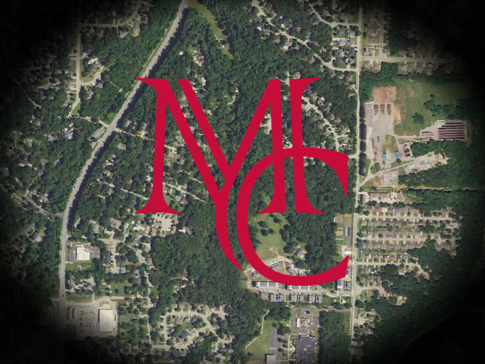
Image: USGS The National Map aerial imagery (public domain), with the Mason Capital Group monogram.