
TL;DR: The Razorback Regional Greenway is a 40-mile shared-use trail, built largely from connected paved paths, that runs from Kessler Mountain Regional Park in Fayetteville to the Mercy Way Bridge in Bella Vista (Razorback Greenway, accessed November 2026). At the north end, Bella Vista Lake Park on Highway 71B, at the northern tip of Bentonville, has a large free parking lot and is the usual starting point for rides south toward downtown Bentonville (Visit Bentonville, March 12, 2025).
How long is the Razorback Greenway, and where does it go?
The Greenway is 40 miles long and connects Fayetteville, Johnson, Springdale, Lowell, Rogers, Bentonville and Bella Vista (Razorback Greenway, accessed November 2026). The original 37 miles were dedicated in 2015 by linking 19 existing shared-use paved trails, and four more miles were added through 2021.
Where do you park at the north end of the Greenway?
Park at Bella Vista Lake Park, which Visit Bentonville identifies as the Greenway's northern end, with a large free lot (March 12, 2025). The City of Bentonville lists the park on Highway 71B North with two lots, one on the west side reached from Highway 71 and one on the east side, plus a playground, a covered pavilion and the Veterans War Memorial. The city notes its 1.75-mile paved loop is not fully available while a new bridge is designed. The 22-acre lake, dammed in 1925, has largely drained since floodwater breached the dam in April 2021, and in May 2025 the Bentonville City Council voted to remove the dam remnants so Little Sugar Creek can flow freely (Ozark Society, September 2025; Northwest Arkansas Democrat-Gazette, February 13, 2024).
What does the Greenway pass heading south from Bella Vista Lake?
Riding south, the Greenway passes under West McNelly Road at about mile 2.5, goes through a tunnel under Interstate 49 (the Bella Vista Bypass) into the Slaughter Pen trails at mile 3.5, and reaches restrooms and a skills park at mile 4.3 (Visit Bentonville, March 12, 2025). It crosses the A Street flyover by Crystal Bridges at mile 6.5, reaches downtown stops such as Compton Gardens at about mile 6.75 and enters Rogers at mile 10. See our guides to the Slaughter Pen trails and the Downtown Bentonville Square.
How does the Greenway connect on the Bella Vista side?
The Greenway reached Bella Vista in July 2018, when a roughly one-mile, $1 million section funded by the Walton Family Foundation was celebrated at Blowing Springs; the next phase depended on rebuilding the Mercy Way Bridge with a lane for people on foot and bike over Little Sugar Creek (The Weekly Vista, August 1, 2018). Nearby, OZ Trails Bike Park opened June 12, 2026, at 2726 Bella Vista Way, west of the U.S. 71 and Mercy Way intersection, with chairlift-served trails (Talk Business & Politics, April 28, 2026).
Can you walk, bike or commute on the Razorback Greenway?
Yes. The Greenway is a shared-use path for walkers, runners and cyclists, with a 15 mph speed limit, a keep-right rule and leashed pets (Visit Bentonville, March 12, 2025). Riders starting there can leave a second car at the Horsebarn Trailhead for a 10-mile one-way trip. One north Bentonville segment has been under repair: a $3.53 million Walton Family Foundation grant is relocating 2,500 feet of the Greenway and adding two bridges along Little Sugar Creek after April 2022 flooding, with completion expected by October 2026 at the time of the grant (Talk Business & Politics, August 27, 2025). Check the city for detours.
Working With Mason Capital Group in Bella Vista
Homes near the north end of the Greenway give owners paved access to downtown Bentonville without a car. When weighing a home here, check the route to the nearest access point and how the planned park on the former lake site may change the area. Mason Capital Group has 30+ years of Northwest Arkansas experience and $2.4B+ in cumulative transaction activity (estimated). If you own nearby, list your home with us, and see Discover Bella Vista, Arkansas for the wider city.
For those seeking the best real estate agent in Bella Vista, reach us at 609 SW 8th Street, 6th Floor, Bentonville, AR 72712, or by calling 479-925-3333.
Frequently Asked Questions
Where does the Razorback Greenway end in Bella Vista?
Mile 40 is at the Mercy Way Bridge in Bella Vista, and mile 0 is at Kessler Mountain Regional Park in Fayetteville (Razorback Greenway, accessed November 2026).
Is parking free at the north end of the Greenway?
Yes. Bella Vista Lake Park has a large, free parking lot (Visit Bentonville, March 12, 2025).
How far is downtown Bentonville from Bella Vista Lake on the Greenway?
About 6.75 miles, per Visit Bentonville's ride guide from Bella Vista Lake Park (March 12, 2025).
What is the speed limit on the Greenway?
The speed limit is 15 mph, and riders should stay right and announce when passing (Visit Bentonville, March 12, 2025).
About the author: Cameron Torabi, Principal Broker — Mason Capital Group. 30+ years of Northwest Arkansas real estate expertise; $2.4B+ in cumulative transaction activity (estimated).
Sources: Razorback Greenway, History (accessed November 2026); Visit Bentonville, "Razorback Greenway Experience Guide" (March 12, 2025); City of Bentonville, Bella Vista Lake Trail facility pages (accessed November 2026); Ozark Society, "Little Sugar Creek to run free" (September 2025); Northwest Arkansas Democrat-Gazette, Lake Bella Vista dam coverage (February 13, 2024); The Weekly Vista, "Greenway reaches Bella Vista" (August 1, 2018); Talk Business & Politics, "OZ Trails bike park to open on June 12" (April 28, 2026) and "Walton Family Foundation provides $3.5 million for Bentonville trail project" (August 27, 2025).
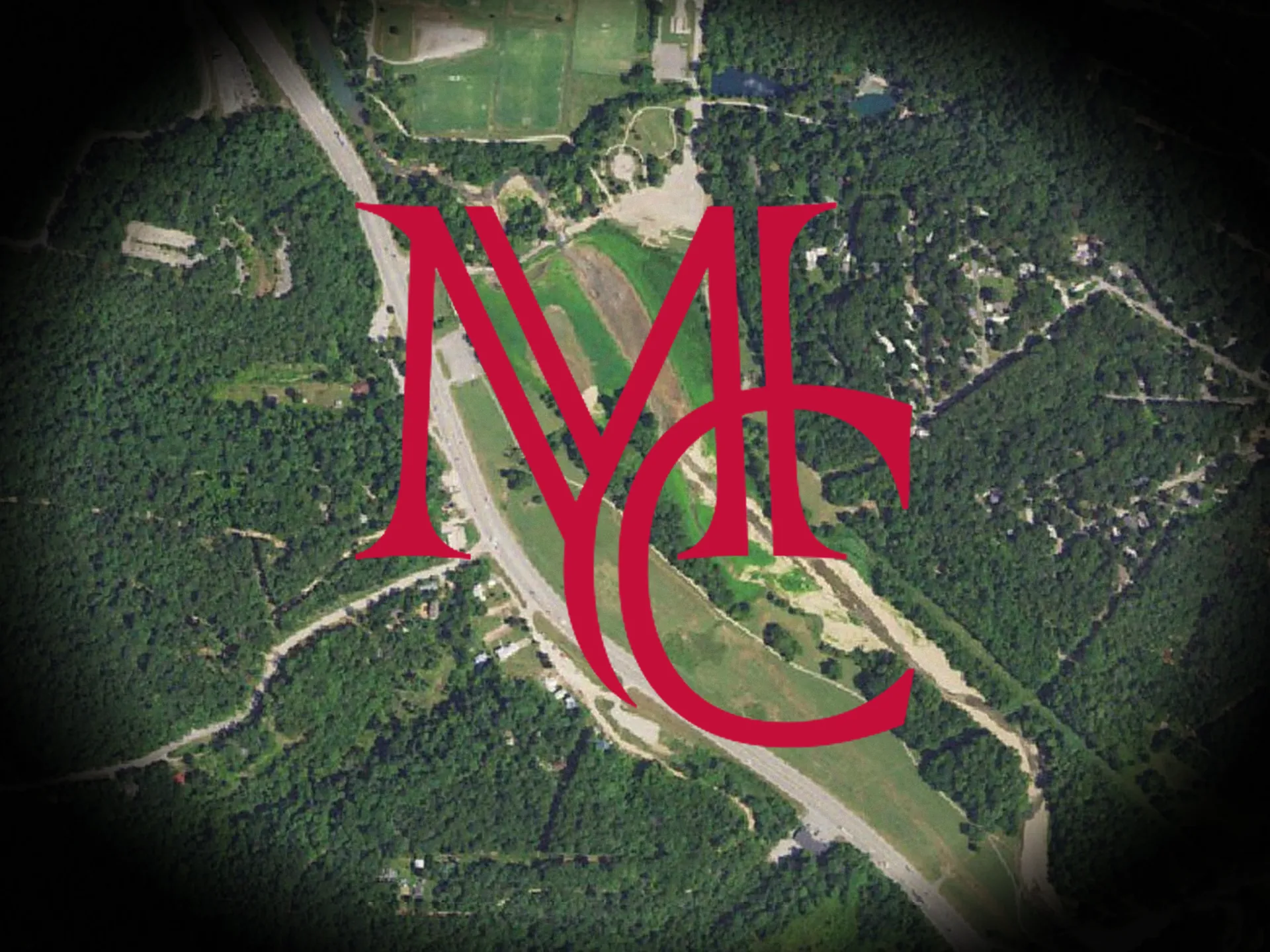
Image: USGS The National Map aerial imagery (public domain), with the Mason Capital Group monogram.