
TL;DR: Blowing Springs Park, at 700 Blowing Springs Road in Bella Vista, combines a Bella Vista POA campground with 64 full-hookup RV sites and 11 tent sites (Campspot listing, accessed November 2026) and the Blowing Springs trailhead for the Back 40, a trail system of nearly 40 miles that is open to the public from 5 a.m. to 10 p.m. daily (City of Bella Vista, bellavistaar.gov/the_back_40/, accessed November 2026).
Where is Blowing Springs Park?
From US 71 northbound, turn east on Mercy Way, which becomes Blowing Springs Road; the trailhead is about half a mile in (City of Bella Vista, accessed November 2026). The park sits at 700 Blowing Springs Road, Bella Vista, AR 72714, close to the Mercy medical campus. See our guide to Mercy Hospital Northwest Arkansas for that side of town.
What trails start at Blowing Springs?
Blowing Springs is one of the main trailheads for the Back 40, a city trail system of nearly 40 miles; the full Back 40 Loop is 21.4 miles (City of Bella Vista, accessed November 2026). Arkansas Tourism describes a seven-mile Blowing Springs loop with bluff lines and waterfalls (arkansas.com, accessed November 2026). The Back 40 also connects to Lake Ann; our Lake Ann and Back 40 trailhead guide covers that access point, and our guides to Coler Mountain Bike Preserve and Slaughter Pen cover the trail systems in Bentonville.
Where can you get a Back 40 trail map?
The City of Bella Vista offers free pocket trail maps at City Hall, 101 Town Center, and points riders to electronic maps on NWA Trails, OZ Trails and Trailforks (City of Bella Vista, accessed November 2026). Use the current official map before you ride, because trail routes and closures change.
What camping is available at Blowing Springs?
The campground lists 64 full-hookup RV sites with 30- and 50-amp service from $55 per night and 11 tent sites from $29 to $34 per night, along with a pavilion, showers, laundry and a dump station, with discounts for POA members (Campspot listing, accessed November 2026). Rates and availability change by season, so confirm on the reservation site.
What is it like to live near Blowing Springs?
Neighborhoods near Blowing Springs put both the trail system and US 71 within a few minutes, which suits buyers who ride or hike and still commute to Bentonville. Bella Vista had an estimated population of 34,518 as of July 1, 2025 (U.S. Census Bureau QuickFacts). Browse our featured listings, or see Discover Bella Vista, Arkansas for the wider city.
Working With Mason Capital Group in Bella Vista
Trail access has become a real factor in Bella Vista home values, and proximity to a trailhead is worth confirming on the map, not just in a listing description. Mason Capital Group has 30+ years of experience in Northwest Arkansas and $2.4B+ in cumulative transaction activity (estimated). If you are selling nearby, list your home with us.
For those seeking the best real estate agent in Bella Vista, reach us at 609 SW 8th Street, 6th Floor, Bentonville, AR 72712, or by calling 479-925-3333.
Frequently Asked Questions
Is the Back 40 open to the public?
Yes. The City of Bella Vista lists the Back 40 as open to the public from 5 a.m. to 10 p.m. daily (bellavistaar.gov/the_back_40/, accessed November 2026).
How long is the Back 40 Loop?
The Back 40 Loop is 21.4 miles, within a trail system of nearly 40 miles (City of Bella Vista, accessed November 2026).
How do you get to the Blowing Springs trailhead?
From US 71 northbound, go east on Mercy Way, which becomes Blowing Springs Road, for about half a mile (City of Bella Vista, accessed November 2026).
Can you camp at Blowing Springs Park?
Yes. The campground lists 64 full-hookup RV sites and 11 tent sites, with showers, laundry and a dump station (Campspot listing, accessed November 2026).
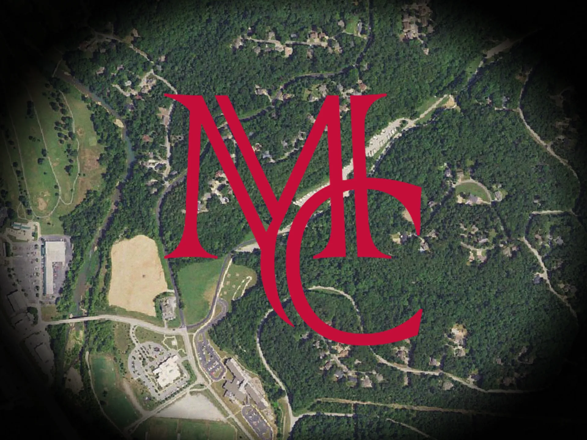
Image: USGS The National Map aerial imagery (public domain), with the Mason Capital Group monogram. Trail maps are available from the City of Bella Vista.