
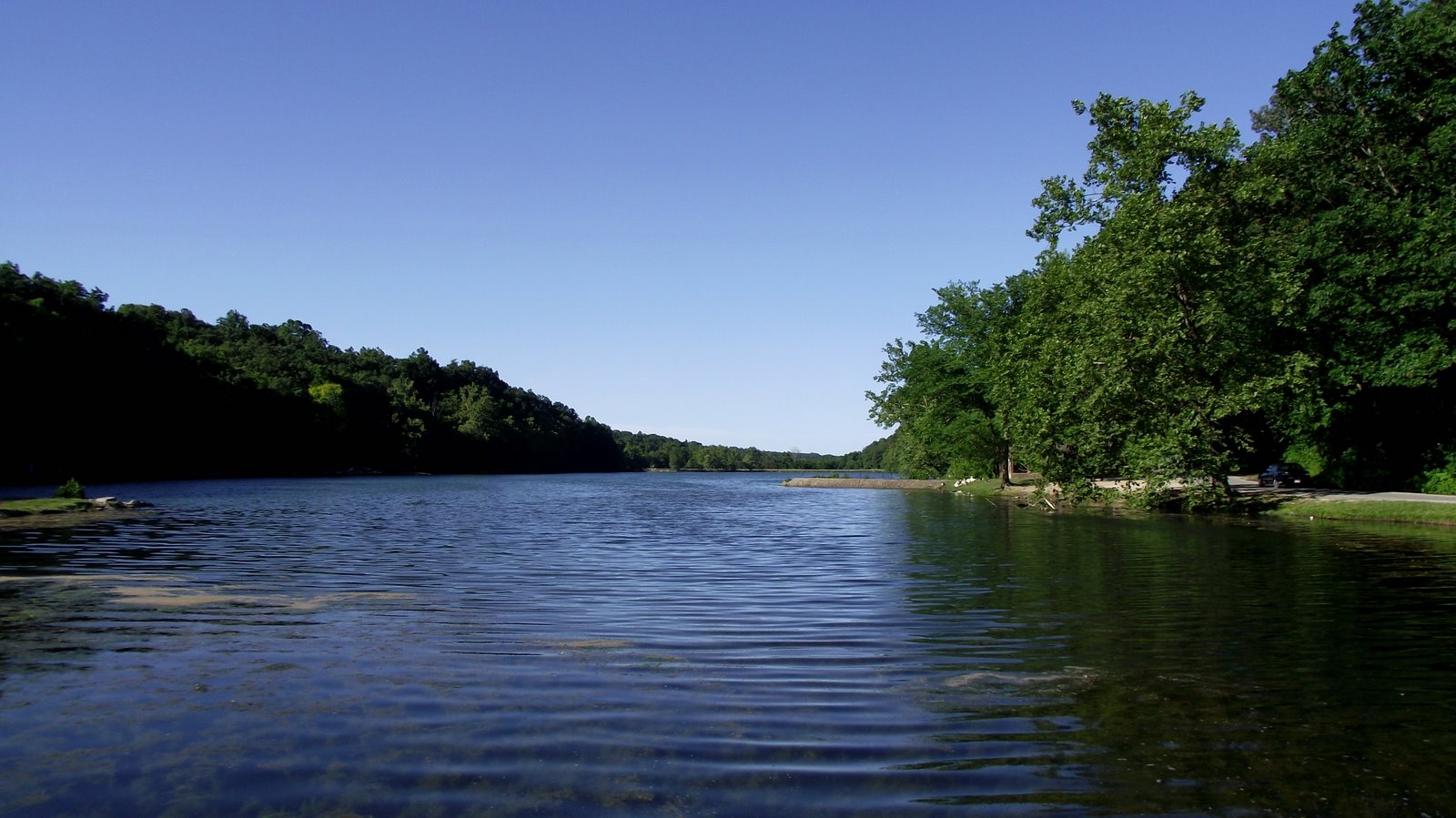
TL;DR: Lake Atalanta Park is a 236-acre city park at 500 E. Walnut Street, Rogers, AR, east of downtown, built around a 37-acre spring-fed lake (City of Rogers / Destination Rogers, 2026).
Historic Origins of Rogers Lake Atalanta
Lake Atalanta Park is a 236-acre city park at 500 E. Walnut Street, Rogers, AR, east of downtown, built around a 37-acre spring-fed lake according to the City of Rogers and Destination Rogers in 2026. This location creates a substantial natural boundary east of the Rogers city center, offering a distinct environmental asset that separates the park environment from the surrounding urban development. Visitors can Discover Rogers, Arkansas by observing how this historic site functions as a preserved ecological zone within the city limits.
The park was originally built in 1936 by the Works Progress Administration as a dammed reservoir on Prairie Creek and is named for Atalanta Gregory, wife of primary land donor O.L. Gregory, per Destination Rogers in 2026. For property owners in the area, the 1936 construction date signifies a mature, stabilized landscape feature that has defined the character of the Rogers community for nearly a century. The connection to Prairie Creek remains a defining hydrological characteristic of the terrain.
Lake Atalanta Trail System And Renovation
Lake Atalanta Park reopened to the public in November 2016 after a multi-year renovation that included dredging the lake and elevating Walnut Avenue to route pedestrian trails underneath it, according to Destination Rogers (2026). This infrastructure improvement significantly altered the park's accessibility and layout, creating a more cohesive experience for visitors. Readers researching the area can browse current featured listings east of downtown Rogers.
Current amenities include roughly 10 miles of soft-surface hiking and mountain-bike trails across five zones of varying difficulty, plus more than 4 miles of paved trail, a paved loop circling the lake, and a roughly 2,000-foot boardwalk with fishing 'bump out' areas over the water (City of Rogers Parks & Trails map, 2024; Destination Rogers, 2026). The variety of terrain available across the five distinct zones allows residents to engage in different levels of outdoor activity without leaving the city limits. A visitor short on time can stick to the paved loop and boardwalk, while someone looking for a more technical ride or hike has five zones of soft-surface trail to work through, all documented on the City of Rogers Parks & Trails map (2024).
Park Amenities and Rogers Trail Connections
Visitors to Lake Atalanta Park will find several distinct amenities designed to support public use and safety. The site features the Clark Pavilion, which is available for rental, alongside a playground, a serenity garden, and a designated dog park. For security, the park is equipped with solar-powered emergency call boxes, according to Destination Rogers (2026). These facilities provide functional spaces for community gatherings, everyday recreation, and family visits.
The park serves as a component within the broader Rogers active transportation network. The City of Rogers Parks & Trails map, hosted at destinationrogers.com and accessed in 2026, shows the Razorback Greenway running north-south through the city. This primary corridor connects to the Trail of Two Cities, the Northgate Trail, and the Pauline Whitaker Parkway Trail. A rider or walker leaving Lake Atalanta Park can reach these connected trails without returning to a car, giving park visitors a non-vehicular route to other parts of Rogers. For someone planning a longer outing, that connectivity means a single trip to the park can extend into a broader loop through downtown Rogers and neighboring trail segments, using the same paved surface the whole way.
Working With Mason Capital Group in Rogers
For those evaluating real estate near the Lake Atalanta Park trails Rogers AR, Mason Capital Group provides advisory services grounded in extensive regional experience. Our firm brings 30+ years of market insight to every transaction, assisting clients in navigating the specific nuances of local neighborhoods.
Located at 609 SW 8th Street, 6th Floor, Bentonville, AR 72712, our team is available to discuss your portfolio requirements at 479-925-3333. We have facilitated $2.4B+ in cumulative transaction activity, a volume that underscores our capability to manage complex real estate objectives. Contact us to receive a formal assessment of how this area fits into your broader investment strategy.
Where is Lake Atalanta Park located?
Lake Atalanta Park is a 236-acre city park situated at 500 E. Walnut Street, Rogers, AR, east of downtown (City of Rogers / Destination Rogers, 2026).
What is the history of Lake Atalanta Park?
The park was originally built in 1936 by the Works Progress Administration as a dammed reservoir on Prairie Creek and is named for Atalanta Gregory, wife of primary land donor O.L. Gregory (Destination Rogers, 2026).
When did Lake Atalanta Park reopen after renovation?
Lake Atalanta Park reopened to the public in November 2016 after a multi-year renovation that included dredging the lake and elevating Walnut Avenue to route pedestrian trails underneath it (Destination Rogers, 2026).
How many miles of trails are at Lake Atalanta Park?
The park features roughly 10 miles of soft-surface hiking and mountain-bike trails across five zones of varying difficulty, plus more than 4 miles of paved trail, a paved loop circling the lake, and a roughly 2,000-foot boardwalk with fishing 'bump out' areas over the water (City of Rogers Parks & Trails map, 2024; Destination Rogers, 2026).
What amenities are available at Lake Atalanta Park?
Amenities include the Clark Pavilion (available for rental), a playground, a serenity garden, a dog park, and solar-powered emergency call boxes (Destination Rogers, 2026).