
TL;DR: The U.S. Army Corps of Engineers stopped accepting new private dock and marina boat-slip requests at Beaver Lake effective July 1, 2020, after the lake reached its carrying capacity for that infrastructure (USACE Little Rock District, effective July 1, 2020).
Beaver Lake Shoreline Management And Dock Regulations
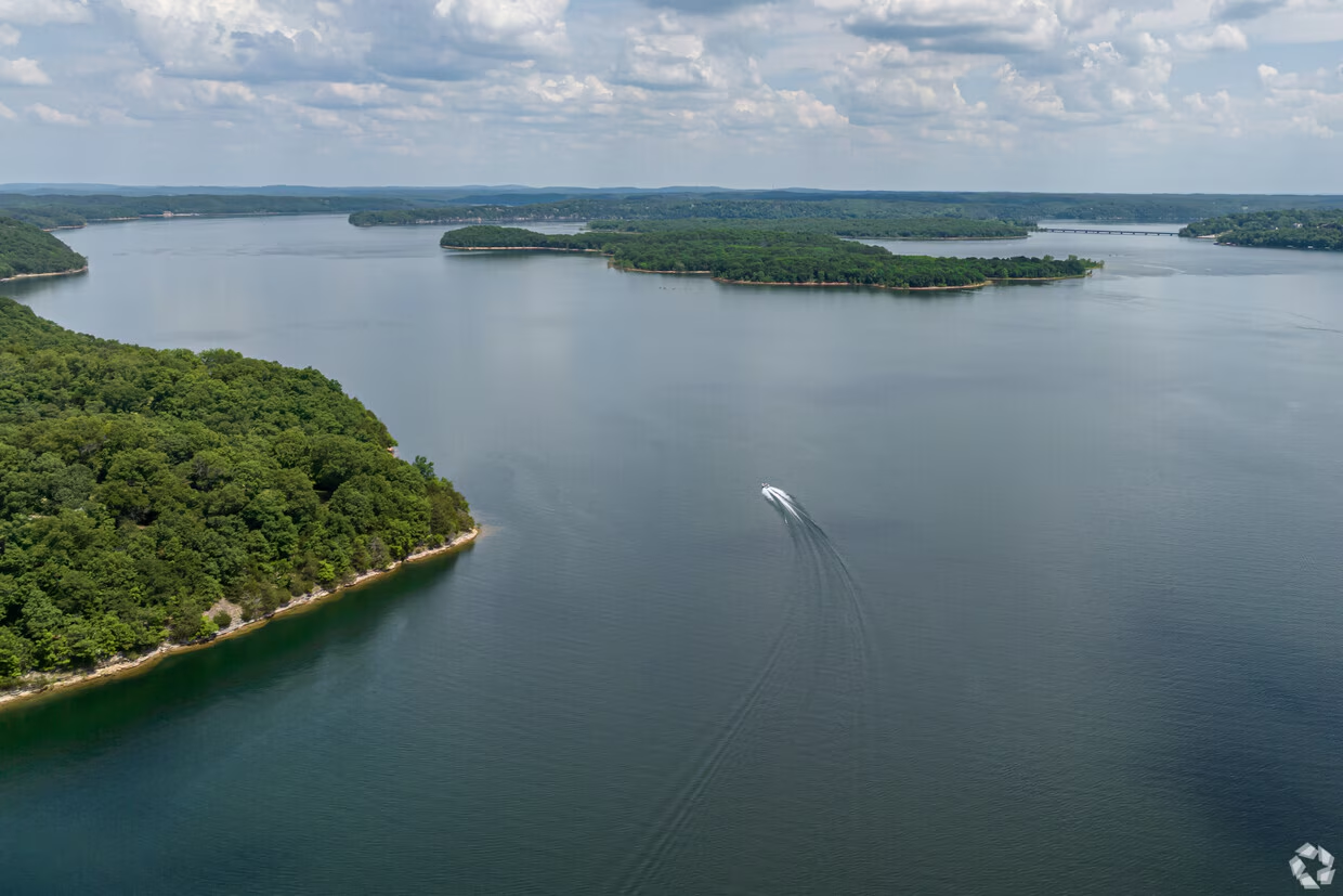
Beaver Lake is managed by the U.S. Army Corps of Engineers, Little Rock District; the shoreline at and below conservation pool is federally managed, not privately owned, even where private lots back up to it (USACE Little Rock District, 2026). This means that a lot backing up to the water does not automatically come with a right to build a dock or claim the shoreline itself, regardless of what a listing might imply. Buyers researching land near the lake and looking to Discover Rogers, Arkansas should confirm the status of any existing dock permit before assuming one is transferable.
The U.S. Army Corps of Engineers stopped accepting new private dock and marina boat-slip requests at Beaver Lake effective July 1, 2020, after the lake reached its carrying capacity for that infrastructure (USACE Little Rock District, effective July 1, 2020). That means a property with an existing, permitted dock is in a fundamentally different category than one without, since no new permits are being issued. Sellers should provide clear documentation of any existing permit, and buyers should treat the absence of one as a permanent condition rather than something that can be added later.
Rogers Flood Zones And Beaver Lake Dimensions
Beaver Lake covers approximately 27,900 surface acres with roughly 449 miles of shoreline at conservation pool, per a 2018 USGS bathymetric survey (USGS, 2018). These specific measurements provide the necessary context for evaluating the actual extent of the water body relative to the available featured listings in the area. Understanding the physical scale of the lake is a prerequisite for assessing how different topographic sections might influence property access and views, though the survey data alone does not predict current water levels at any specific dock or shoreline.
FEMA requires flood insurance on any property with a federally backed mortgage located in a mapped Zone A or Zone V high-risk flood area; FEMA also reports that a substantial share of actual flood claims nationally are filed on properties outside those mapped high-risk zones (FEMA, 2026). This regulatory requirement creates a distinct financial consideration for buyers relying on federal lending, as the cost of insurance is tied directly to these designated zones rather than solely to the proximity to the water. The data regarding claims filed outside high-risk zones suggests that risk assessment should extend beyond the basic FEMA maps to ensure a comprehensive evaluation of potential exposure.
Rogers Property Tax And Commission Rules
Understanding the fiscal obligations specific to the Rogers area is a necessary component of any acquisition strategy. Benton County property tax runs approximately 0.6% of assessed value as of 2026 (Benton County / regional tax data, 2026). This figure represents the baseline cost of ownership that must be accounted for when evaluating the long-term holding costs associated with lake-adjacent land or residential structures. When you list your home with us, we ensure these regional tax implications are factored into your financial planning to provide a clear picture of net returns.
Regulatory adjustments within the real estate sector have also altered how compensation is communicated to the public. Real estate practice changes that took effect August 17, 2024 require listing agreements to include a conspicuous disclosure that broker compensation is not set by law and is fully negotiable (National Association of Realtors, NAR Settlement FAQs, 2026). This mandate ensures that all parties entering a contract understand that fees are a matter of private agreement rather than statutory requirement. For sellers, this shift allows for greater flexibility in structuring terms, while buyers must be aware that commission offers may vary significantly between transactions.
Rogers Area Market And Buyer Agreement Context
Since August 17, 2024, agents working with buyers touring MLS-listed homes must first obtain a written buyer agreement specifying compensation terms that are not open-ended and are objectively ascertainable (National Association of Realtors, NAR Settlement FAQs, 2026). For anyone touring lake-adjacent land or homes near Beaver Lake, this means the terms of your agent's compensation are settled in writing before you view a single property, rather than left as an informal understanding.
Rogers, Arkansas had an estimated population of 76,956 as of July 1, 2025, per the U.S. Census Bureau's Vintage 2025 population estimates (U.S. Census Bureau, QuickFacts, V2025). That figure gives buyers a sense of the scale of the nearest city to the Beaver Lake corridor, and the size of the broader market they're buying into even when the specific property sits well outside city limits.
Working With Mason Capital Group in Rogers
Acquiring Beaver Lake adjacent property buyer guide Rogers AR requires precise data regarding water access, topography, and municipal jurisdiction. Mason Capital Group applies 30+ years in Northwest Arkansas to interpret these variables for your portfolio. Our team has overseen $2.4B+ in cumulative transaction activity, providing the analytical rigor necessary to navigate complex lakefront acquisitions without relying on generic market assumptions.
We are located at 609 SW 8th Street, 6th Floor, Bentonville, AR 72712, and can be reached at 479-925-3333 to discuss your specific requirements. We focus on the operational realities of ownership, from conservation easements to floodplain considerations, ensuring you understand the asset before executing a contract. Contact us to review the current inventory of lake-adjacent properties with a disciplined, advisory approach.
Who owns the shoreline at Beaver Lake?
The shoreline at and below conservation pool is federally managed, not privately owned, even where private lots back up to it, according to the U.S. Army Corps of Engineers, Little Rock District (2026).
Can I get a new dock permit for Beaver Lake?
No, the U.S. Army Corps of Engineers stopped accepting new private dock and marina boat-slip requests at Beaver Lake effective July 1, 2020, after the lake reached its carrying capacity for that infrastructure (USACE Little Rock District, effective July 1, 2020).
How big is Beaver Lake?
Beaver Lake covers approximately 27,900 surface acres with roughly 449 miles of shoreline at conservation pool, per a 2018 USGS bathymetric survey (USGS, 2018).
Do I need flood insurance if I am not in a high-risk zone?
FEMA reports that a substantial share of actual flood claims nationally are filed on properties outside those mapped high-risk zones, even though insurance is only required for properties with a federally backed mortgage located in a mapped Zone A or Zone V high-risk flood area (FEMA, 2026).
What is the population of Rogers, Arkansas?
Rogers, Arkansas had an estimated population of 76,956 as of July 1, 2025, per the U.S. Census Bureau's Vintage 2025 population estimates (U.S. Census Bureau, QuickFacts, V2025).