
TL;DR: The Back 40 is a natural-surface trail system of nearly 40 miles on the east side of Bella Vista, organized around the 21.4-mile Back 40 Loop (City of Bella Vista, accessed November 2026). Its first 15 miles opened in August 2016, funded by a $3 million Walton Family Foundation grant and built by NWA Trailblazers, and the trails are open to riders and pedestrians daily from 5 a.m. to 10 p.m. (Talk Business & Politics, August 11, 2016; City of Bella Vista).
How many miles of trail are in the Back 40?
The Back 40 has nearly 40 miles of trail, and the Back 40 Loop that circles the network measures 21.4 miles (City of Bella Vista, accessed November 2026). The system lies east of U.S. 71, and it was one of the city's two original soft-surface systems, along with Blowing Springs (Talk Business & Politics, August 28, 2018).
When did the Back 40 open, and who paid for it?
The first 15-mile section opened in August 2016, and the system was fully funded by a $3 million grant from the Walton Family Foundation, with the nonprofit NWA Trailblazers building the trails (Talk Business & Politics, August 11, 2016). The trails sit on common property owned by the Bella Vista Property Owners Association; the city leases the land for the trails, including 10 feet on either side of each trail (Talk Business & Politics, August 28, 2018).
Who maintains the Back 40?
The City of Bella Vista manages the Back 40 under maintenance agreements with the Property Owners Association (Walton Family Foundation, December 24, 2016). Hazards are reported to the city's Trails Manager, and volunteers help through the Trail Adoption Program overseen by Trailblazers (City of Bella Vista Trails FAQ, accessed November 2026). City rules ask mountain bikers to yield to all other users and downhill traffic to yield to uphill traffic.
Which Back 40 trailhead should you use?
Choose a trailhead by the road you arrive on. From U.S. 71, Trafalgar Road leads to the Buckingham, Metfield and Lake Ann trailheads; Exit 98 and Lancashire Boulevard lead to the Bella Vista Community Church, Bear Hollow and Tower trailheads; and Mercy Way leads to Blowing Springs (City of Bella Vista, accessed November 2026). OZ Trails calls the Lake Ann trailhead the epicenter of the system, which is why it is a common first stop; our guide to the Lake Ann trailhead covers that entry point in detail.
How difficult are the Back 40 trails?
Most of the Back 40 is intermediate. The city rates the main loop intermediate, lists Mulligan (0.93 miles) as the beginner trail, and rates The Ledges (2.94 miles), Lookout, Summit School and What the Chuck as expert or advanced (City of Bella Vista, accessed November 2026). OZ Trails describes grinding climbs that alternate with fast descents (September 15, 2026).
How should you plan a first ride on the Back 40?
Pick up a map first. Printed pocket maps are available at City Hall, 101 Town Center, and at local bike and running shops, and electronic maps are on NWA Trails, OZ Trails and Trailforks (City of Bella Vista, accessed November 2026). MTB Project describes the 8.5-mile segment from Highway 340 at Lancashire to Blowing Springs as mostly downhill when ridden clockwise. The trails do not close for weather, so the city asks users to use judgment in wet or winter conditions.
Working With Mason Capital Group in Bella Vista
Because the Back 40 runs on POA common property, many homes on the east side of Bella Vista back up to a trail corridor or sit a short ride from a trailhead. Buyers should confirm whether a lot adjoins common property and how close the nearest trailhead parking is. Mason Capital Group brings 30+ years of Northwest Arkansas experience and $2.4B+ in cumulative transaction activity (estimated) to those questions. Browse our featured listings, list your home with us, or read Discover Bella Vista, Arkansas for the wider city.
For those seeking the best real estate agent in Bella Vista, reach us at 609 SW 8th Street, 6th Floor, Bentonville, AR 72712, or by calling 479-925-3333.
Frequently Asked Questions
How long is the Back 40 Loop?
The Back 40 Loop is 21.4 miles, and the full system has nearly 40 miles of trail (City of Bella Vista, accessed November 2026).
Who funded the Back 40 trails?
The Walton Family Foundation funded the system with a $3 million grant, and NWA Trailblazers built it (Talk Business & Politics, August 11, 2016).
Are e-bikes allowed on the Back 40?
Class 1 e-bikes, which assist only while pedaling and stop assisting at 20 mph, are allowed on Bella Vista trails (City of Bella Vista Trails FAQ, accessed November 2026).
Can you hike the Back 40?
Yes. The trails are open to pedestrians as well as mountain bikers, from 5 a.m. to 10 p.m. daily, and mountain bikers are asked to yield to all other users (City of Bella Vista, accessed November 2026).
About the author: Cameron Torabi, Principal Broker — Mason Capital Group. 30+ years of Northwest Arkansas real estate expertise; $2.4B+ in cumulative transaction activity (estimated).
Sources: City of Bella Vista, The Back 40, Trails FAQs and trail rules pages (accessed November 2026); Talk Business & Politics, "Bella Vista opens 'Back 40' mountain bike trail" (August 11, 2016) and "Bella Vista lands $3.9 million Walton grant for trails" (August 28, 2018); Walton Family Foundation, "NWA Trailblazers facilitate new standard in connectivity" (December 24, 2016); OZ Trails, Bella Vista trails guide (September 15, 2026); MTB Project, Back 40 Loop Segment 2 (accessed November 2026).
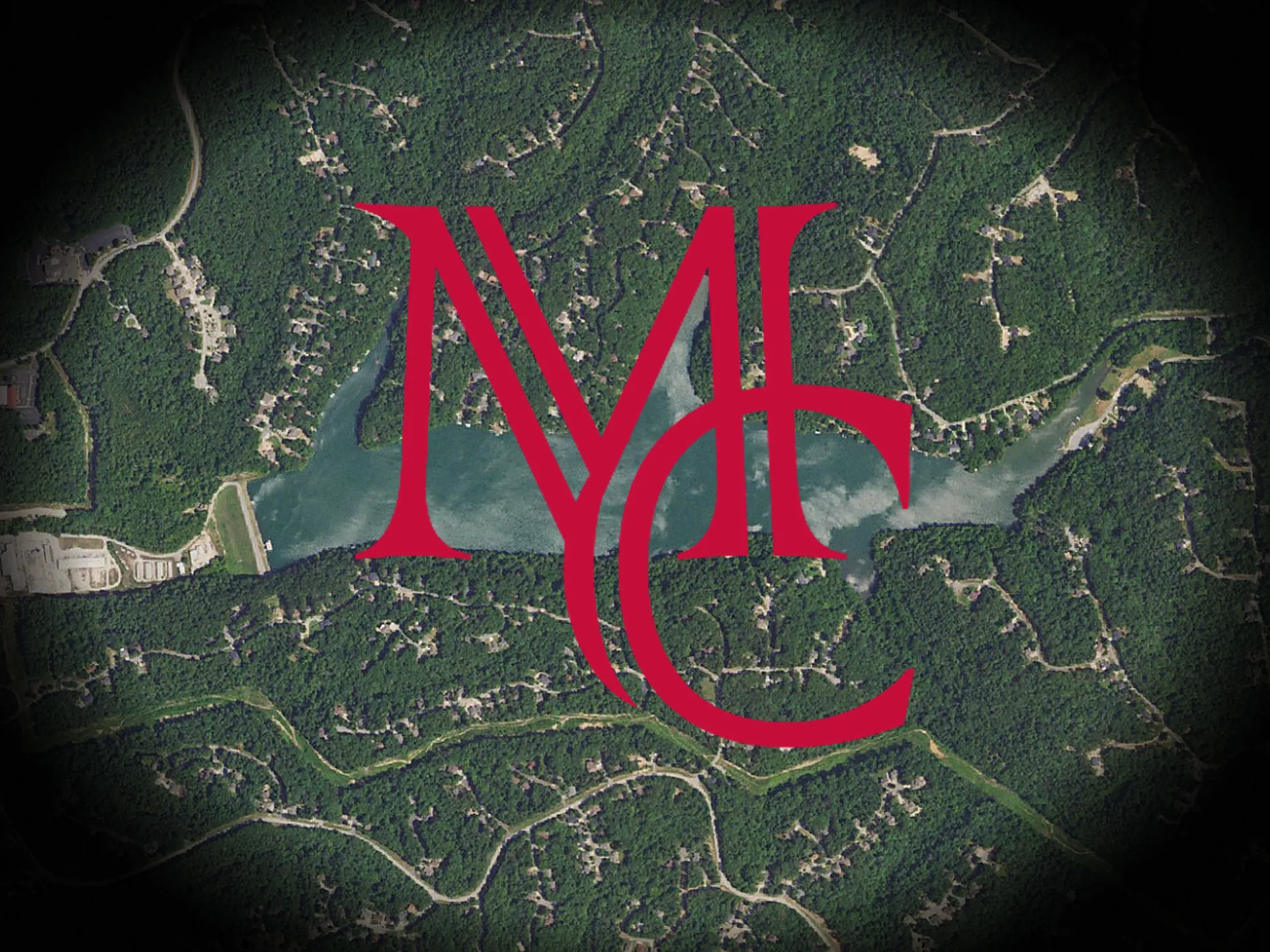
Image: USGS The National Map aerial imagery (public domain), with the Mason Capital Group monogram.